This corner of the Florida Panhandle goes by a nickname: the Emerald Coast. It’s earned — the water really does glow green where the white quartz sand meets the Gulf. But the geography can be confusing on a first visit, so here’s the quick version.
The lay of the land
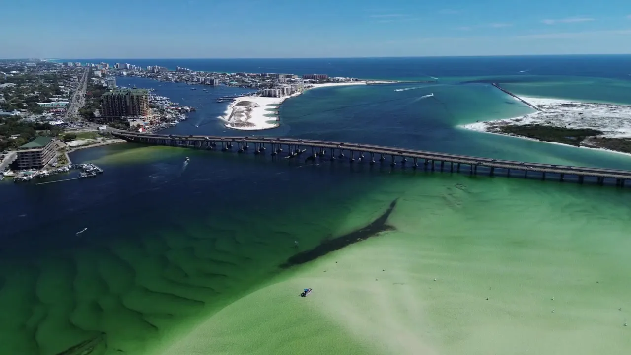
At the center of it all is the East Pass, the deep-water cut where Choctawhatchee Bay drains into the Gulf. On the east side sits Destin, a former fishing village turned resort town famous for its harbor and charter fleet. On the west side is Okaloosa Island and, just inland, Fort Walton Beach. Farther east you’ll find Sandestin and Miramar Beach. Everything on the water flows through, or past, that one pass.
Destin
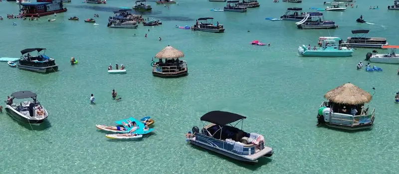
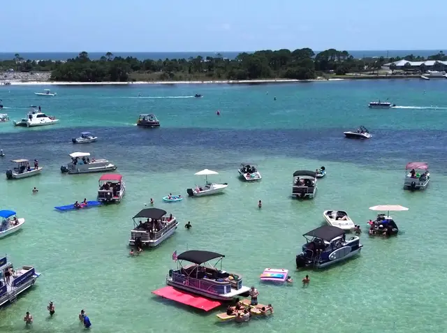
Destin is the postcard: the harbor packed with boats, the boardwalk, and quick access to both the Gulf and Crab Island. If you’ve seen photos of turquoise water and white sand from the Panhandle, chances are they were shot near here.
Fort Walton Beach & Okaloosa Island
Just across the pass, Fort Walton Beach and Okaloosa Island tend to feel a touch more laid-back, with wide public beaches and an easygoing pace. It’s a favorite of families who want the same emerald water with fewer elbows.
The white sand, explained
That famous sand isn’t ordinary beach sand — it’s fine Appalachian quartz carried down over millennia and ground nearly white. It stays cool underfoot and gives the shallows their signature color. Combine it with clean Gulf water and you get the emerald effect.
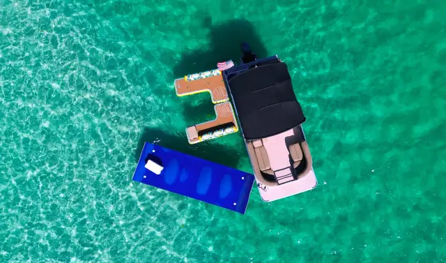
Getting on the water
The best way to understand the area is from the water, where you can see how the bay, the pass, Crab Island, and the Gulf all connect. Our boats run from three points around the pass — Fort Walton Beach, Destin Harbor, and Sandestin — so wherever you’re staying, there’s a trip that launches nearby.